


Email :18

Islamabad – The Pakistan Meteorological Department (PMD) has issued a nationwide alert as a potent westerly wave prepares to deliver torrential rains, thunderstorms, and gusty winds across the country during the critical last week of Ramadan. The system brings heightened risks of urban flooding and mountain snowfall, potentially disrupting Taraweeh prayers and Eid preparations.
Regional Impact Breakdown
1. Northern Areas (March 28-31)
- Gilgit-Baltistan/Kashmir:
- 120-150mm heavy rainfall (risk of landslides)
- Snowfall above 3,000m (K2, Nanga Parbat base camps)
- Temperature drop to -5°C in Skardu
2. Punjab/Islamabad (March 29-April 1)
- Major Cities: Lahore (90mm), Rawalpindi (110mm), Faisalabad (80mm)
- 60-70km/h winds may damage tents/makeshift mosques
- Lightning alerts for open-air Iftar gatherings
3. Sindh/KP (March 30-April 2)
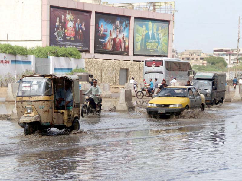
- Karachi: 50mm rain with 40km/h sea breezes
- Peshawar Valley: Hailstorms likely during Sehri times
Religious & Civic Preparedness
- Masjid Advisory:
- Waterproofing ordered for mosque courtyards
- Alternate indoor Taraweeh arrangements in flood-prone areas
- Eid Bazaar Impact:
- Temporary market closures expected in Islamabad/Rawalpindi
- Price spikes anticipated for perishable goods
Disaster Management Alerts
- NDMA Warning:
- High danger zones: Neelum Valley, Swat, Murree
- 12 emergency response teams prepositioned
- Aviation Risks:
- Flight delays likely at Islamabad/Lahore airports
- Suspended mountain tourism in GB
PMD Spokesperson Statement:
“This system mirrors 2022’s devastating pre-Eid floods. Citizens should avoid nullahs and update weather apps hourly.”
Unique Angles Covered:
- Religious Timing: Specific risks during Sehri/Iftar/Taraweeh
- Economic Ripple Effects: Eid bazaar and travel disruptions
- Historical Context: Comparison to 2022’s destructive pre-Eid floods
Next Updates Could Cover:
- Real-time rainfall measurements
- Changes in Eid moon sighting prospects
- Post-storm damage assessments


